Barton Creek Greenbelt: A First-Visit Plan
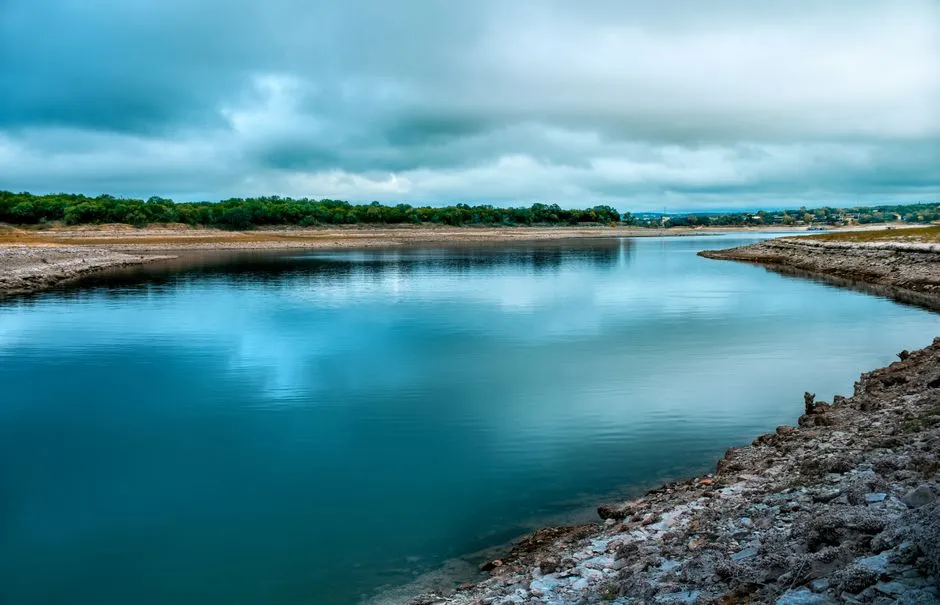
How should you plan a first Barton Creek Greenbelt visit?
Choose one official trailhead, set an out-and-back distance, and check the City of Austin trail page, map, forecast, and current alerts before leaving. Parking and restrooms differ by access point. Water levels can change quickly, and the natural area has limited or no lighting. Set a turnaround time and distance before starting, and leave extra time for uneven limestone terrain.
Hill Country Daybook publishes trip-planning guides from current land-manager sources. The City of Austin controls park rules, closures, permits, and official notices.
Pick the access point before the route
The City of Austin's Barton Creek Greenbelt page lists seven main access points along the main trail: Zilker, Spyglass, Homedale, Gus Fruh, 360, Gaines Park, and Trail's End. Their parking and restroom arrangements differ.
Start with the current official list. Choose an access point by:
- the section of trail you actually want to see;
- legal parking shown on the current page or signs;
- restroom availability;
- expected terrain and total return distance;
- a route that does not depend on a water crossing.
Save the trail map offline. Mobile coverage and battery life are not route plans.
Make it an out-and-back on the first visit
The city describes a main 7.5-mile trail and more than 12 miles across the broader greenbelt. Those figures are not a recommended first-hike length. Choose a turnaround landmark or time and remember that every mile out requires a mile back.
Do not assume two trailheads have simple transport between them. If you plan a point-to-point route, verify the pickup, parking, and legal access at both ends before starting.
Treat water as a changing condition
The city says water levels depend on recent rainfall and Parks and Recreation does not monitor them. It directs visitors to USGS and Lower Colorado River Authority monitors and warns that conditions can change quickly.
Check the forecast and available gauges before leaving, then assess the actual trail and follow closures on arrival. A remote reading is context, not permission to enter water. Do not cross fast, rising, or unclear water. Turn back if the route is unsafe.
Plan for rough ground and shared use
This is a natural trail with rocks, roots, uneven surfaces, cyclists, runners, walkers, and dogs. The city asks visitors to travel on the right, pass on the left, announce a pass, protect vegetation, avoid feeding wildlife, and stay on established trails. Cyclists should yield to pedestrians and signal passes.
Wear footwear suited to the planned surface, carry drinking water, and match the route to the group. Weather and heat can change the practical difficulty. For a medical or mobility question, seek individualized advice rather than treating a trail description as a fitness clearance.
Finish before the light does
The official page says the greenbelt has limited to no lighting and recommends lights when hiking close to sunset. Plan to finish in daylight and carry a light if timing could approach dusk. Check current facility closing information and posted signs.
Trash receptacles are at trailheads, so carry out personal items, rubbish, recyclables, and pet waste. A light pack is easier to carry when it is still carrying everything on the return.
Build a second Austin-area day from official details
For limestone and river scenery with a reservable state-park entry, our Pedernales Falls day-trip guide keeps the falls and designated swimming area separate. The Hill Country Days section collects regional outings beyond an urban trail.
Sources
- City of Austin, Barton Creek Greenbelt — accessed September 3, 2026; supports trail extent, official access points, facilities, shared-trail etiquette, lighting, water variability, and carry-out guidance.
- City of Austin, Trail Directory — accessed September 3, 2026; supports the official shared-use trail classification and current directory context.